Over the next few months, the Landscape of Grand Pré Society will be implementing a wayfinding program to guide visitors and residents to destinations within the Landscape of Grand Pré World Heritage Site. The wayfinding plan, including a new brandmark, was developed this past winter. The first signs to be installed will be those on Highway #101, approaching Exit 10 from the east and the west. Over the coming months arrival signs for the Landscape of Grand Pré will be installed on Highway #1. There will also be points-of-interest signs at key destinations as well as directional signs to guide visitors as they explore the area.
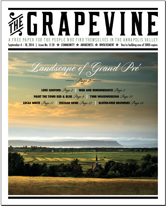
You can now see a good portion of the Landscape of Grand Pré anytime on Nova Scotia webcams. The webcam is located at the View Park at the top of Old Post Road (where the cover image was taken). The camera takes a photo every 3 seconds of two views. See it at: novascotiawebcams.com
Inscribed by UNESCO as a World Heritage Site in 2012, the Landscape of Grand Pré covers 1323 hectares of land and is surrounded by a buffer zone. Most of the land (80%) is owned by 33 farming families working cooperatively within the Grand Pré Marsh Body. It also includes Grand-Pré National Historic Site. For more information and to view the full signage plan, please visit the Landscape of Grand Pré website at landscapeofgrandpre.ca. Brochures are available at the Wolfville Visitor Center and at the Wolfville Farmers’ Market every Saturday.
Angela, admin@landscapeofgrandpre.ca
Photo Credit:Â Mike Hillis, Port Williams
