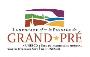
 This brandmark was created for the Society in partnership, and with support from, the Municipality of the County of Kings and the Nova Scotia Tourism Agency, and with invaluable feedback from the local community.
The design reflects the pattern of the dykelands, holding back the waters of the Minas Basin and shows iconic Blomidon, the Acadian Memorial Church and farm silos. This Brandmark will be displayed on all Society material including new signage.
We hope that feedback will help us tell what locals want to know and do around Grand Pré and surrounding area. All suggestions welcome! We’ll soon be writing more about specific projects getting underway this spring and summer, as well as explaining the role of the Society in managing Nova Scotia’s 3rd World Heritage Site .
Where exactly is the World Heritage Site? This summer, the Society will be installing signs announcing your entry into the Landscape of Grand Pré World Heritage Site.
The Brandmark and the Signage plan was developed in full partnership with community contributors. The community will continue to participate in the implementation of the signage plan, including interpretation at many new sites – the North Grand Pré Community Church is one example. You can find more details on the Signage Plan at landscapeofgrandpre.ca.
What is the Landscape of Grand Pré World Heritage Site? It covers 1323 hectares of land and is surrounded by a Buffer zone. Most (80% ) is owned by 33 farming families working cooperatively within the Grand Pré Marsh Body.
Pick up a brochure at the Wolfville Visitor Center or at the Wolfville Farmers’ Market any Saturday.
For more information: info@landsapeofgrandpre.ca / landscapeofgrandpre.ca